Service · Aerial
Aerial 3D Visualization
Bird-eye renders for masterplans and multi-building developments. Drone-altitude composition, full neighbouring context, accurate sun studies.
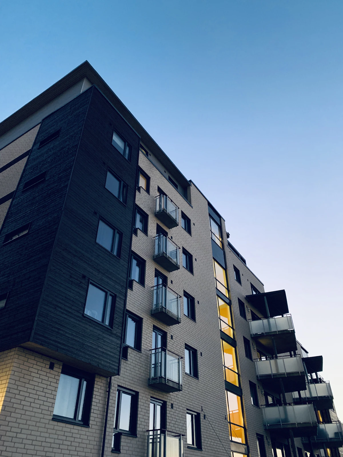
Aerial architectural visualization is a photoreal 3D render of a building or development shot from drone altitude (60–250 m), showing the project in full context.
Best for: masterplans, mixed-use blocks, multi-building residential developments, large public projects, urban infill where context tells the story.
Quick Facts
| Parameter | Value |
|---|---|
| Camera altitude | 60–250 m, drone-equivalent (24–35 mm tilt) |
| Site coverage | Building + 200–800 m radius of context |
| Output resolution | 6K standard, 8K on request |
| First draft | 5–7 working days |
| Revisions included | 2 rounds + final |
| Price per view | €999 / $1,069 |
| Bundle of 3 aerials | €2,499 (save €498) |
| Best for | Masterplans, multi-building developments, mixed-use, urban infill |
What is aerial architectural visualization?
Aerial architectural visualization is a photoreal 3D render of a building or site shot from drone altitude (60–250 m), showing the project in full context — neighbouring volumes, streets, parks, the road network.
Aerial views answer the questions ground-level renders can't. Where does the building sit in the city block? How does it relate to the public realm? What's the catchment? For masterplans and large developments, an aerial is usually the lead image — the shot that opens the brochure.
The technical demands scale with altitude. A drone-altitude composition needs accurate neighbouring volumes (often pulled from open city data and 3D meshes), realistic vegetation across hectares of site, and a sun angle that doesn't flatten the depth of the project.
We work from official cadastre data, OSM, OpenTopography DEMs and our own asset library to build the surrounding context. For sensitive projects we reach out to local authorities for accurate land-use and tree-protection data.
When is an aerial render the right choice?
Pick an aerial when the project is a masterplan, a multi-building site, an urban infill, or any case where the surrounding context drives the buyer decision. For single buildings, ground-level wins.
Three signals that say "this needs an aerial". First, more than two buildings on the site. Second, the project depends on a public-realm story — squares, parks, waterfront. Third, the site is in a recognisable urban context where the location itself is part of the value proposition.
For single residential houses, aerials don't help — they make the house look small and the context dominate. Stick to ground-level for single-family work. For mixed-use blocks at €5M+ sales value, an aerial is usually worth the extra €300 over a standard exterior.
How does aerial pricing compare to ground-level?
A single aerial costs €999 versus €699 for ground-level. The difference covers the larger area we have to model, texture and light — typically 4× the visible site area.
The 60–250 m altitude pulls 200–800 metres of surrounding context into the frame. Buildings, trees, roads, vehicles, parked cars, occasional people — all need to read as photoreal at distance.
Bundles save more than ground-level bundles because the context model is the heaviest cost — once built, additional aerial angles off the same scene cost about €750. Three aerials run €2,499 (€498 saving) and are the most-ordered package for masterplan launches.
Frequently asked questions
Can you use real drone footage as a base plate?
Yes. Send raw footage at 4K minimum, ideally with EXIF GPS — we can match camera angle, lens distortion and lighting to your real plate.
Do you do day and dusk aerial pairs?
Yes. Day plus dusk pair is €1,649 (save €349) and is the most common request for sales-centre brochure spreads.
Can you show the project in winter and summer?
Yes — seasonal pair is €1,499. We swap vegetation, snow load, sun angle, sky condition. Useful for ski resorts and Nordic developments.
Do you need a topographic survey?
Strongly preferred. Without it we work from OpenTopography DEMs which are accurate to roughly ±2 m — fine for most sites, not enough for steep terrain.
Will the surrounding city look real?
Yes. We build neighbouring volumes from cadastre data and 3D meshes, then texture them at distance-appropriate detail. Foreground reads photoreal, far background reads as photographed.
Aerial brief? Send the site, get a quote.
GPS coordinates, plans and rough mood images are enough to start. Quote inside 24 hours, first draft inside a week.